Possum Kingdom Lake in Texas is one of my favorite places to boat. The lake is surrounded by cliffs and beautiful homes. Of course the party spot inside of Hell’s Gate with hundreds of your closest friends is fun too. Add a great place to fish to round out this beautiful lake.
But what happens when you are between boats and still want to experience the lake (Like this guy)? Well, you go hiking.
Possum Kingdom’s Johnson Peak has the best views of Possum Kingdom Lake and is the highest point around PK Lake.
Where is Johnson Peak Hiking Trail?
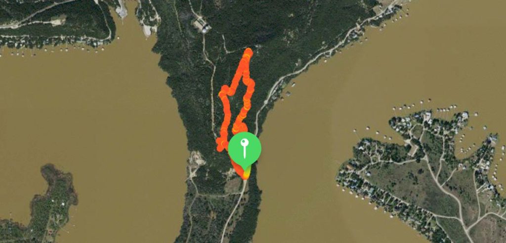
Johnson Peak Hiking Trail is located in Graford, TX in Palo Pinto County near Possum Kingdom Lake. It is on the same peninsula that is shared by YMCA’s Camp Grady Spruce and The Boy Scouts of America’s Camp Constantin .
The trailhead is about 109 Miles West of Dallas Texas and about 79 Miles West of Fort Worth Texas.
Is Johnson Peak Trail Private?
I believe the Johnson Peak trail is owned and operated by the Brazos River Authority and was built using some public money, but the trailhead is located on Camp Grady Spruce’s property which is privately owned by the YMCA.
I learned about the trail after visiting my Daughter who is a Counsler at Camp Grady Spruce over the summer. Her director gave my Wife and I permission to park and hike the trail so the rest is about our hike.
Maybe the Brazos River Authority and the YMCA could clear this up? If the YMCA claims it as private wound’t it be nice to allow hikers to donate to the YMCA for permission to hike it? Hmmmmm
Where do I enter the Trail?
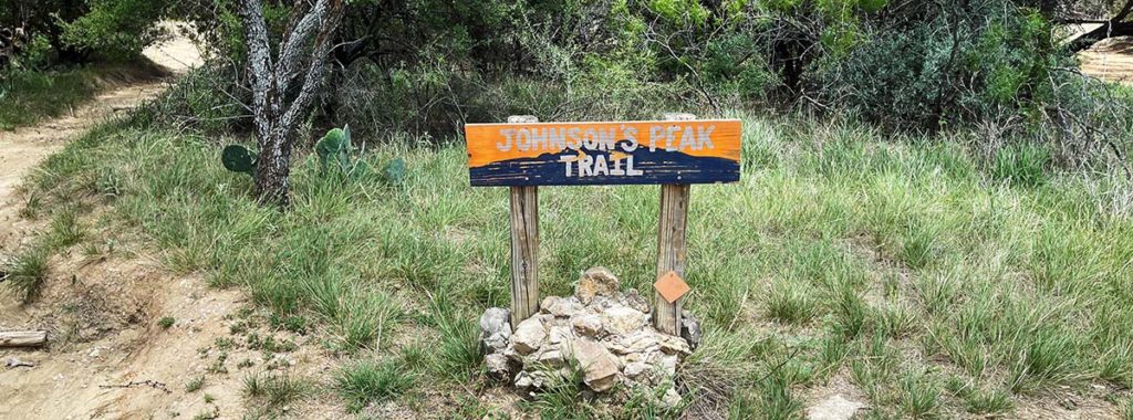
There is one main trailhead to access the Johnson Peak Hiking Trail marked (private) off Park Road 36 right inside of the entrance to Camp Grady Spruce. It’s private because it begins on Camp Grady Spruces property and they use that trail for the campers. Don’t worry I had permission to be there after visiting my Daughter who is a camp Counselor at Camp Grady Spruce.
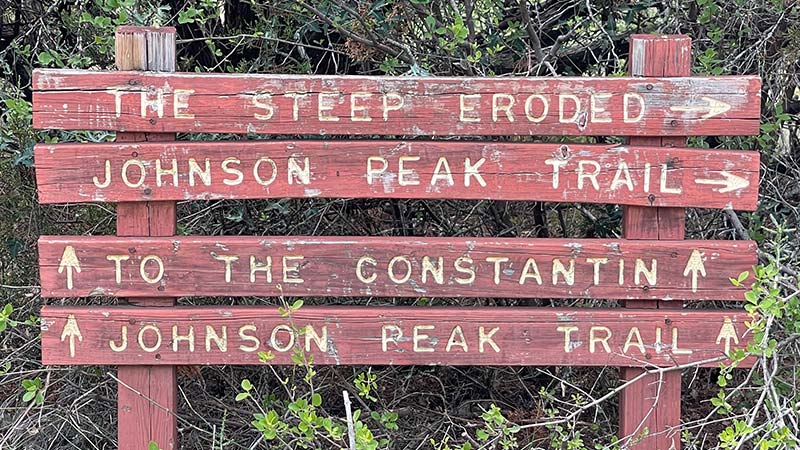
The Johnson Peak Trailhead sign at the Private Camp Grady Spruce Entrance
How difficult and Long is the Johnson Peak Hiking Trail?
The trail is just under 2 miles long and I’d rate it a moderate hike. I hiked around 5pm in the afternoon and the temperature was 108 degrees. The trail was very dry because there was no rain for the last 6 weeks. I would not recommend hiking this trail if it was wet. Mud and slippery rocks would make it dangerous.
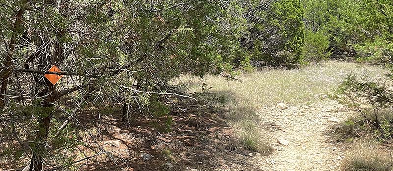
Pro Tip: If you don’t see an orange marker for at least 5 mins then you are going the wrong way.
Most of the lower part of the trail is flat and sandy.
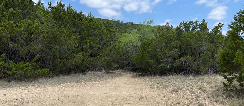
Photo Journey up the Johnson Peak Trail
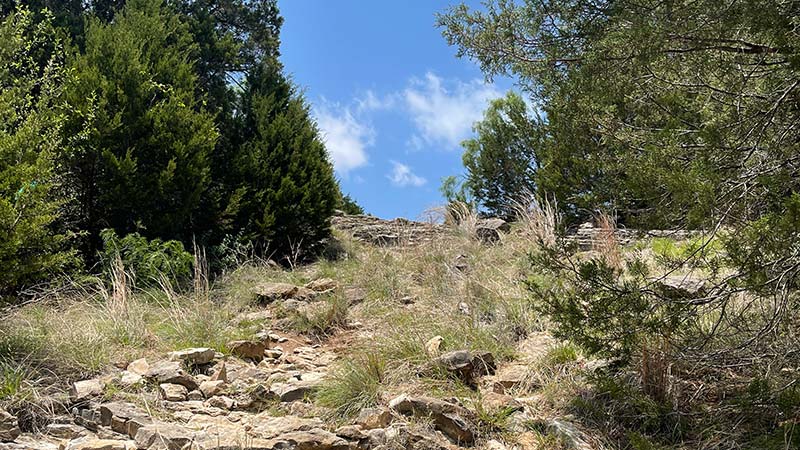
As you progress higher up the trail it starts to get rocky and the slope is more steep.
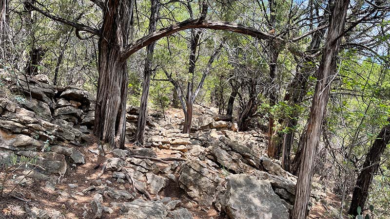
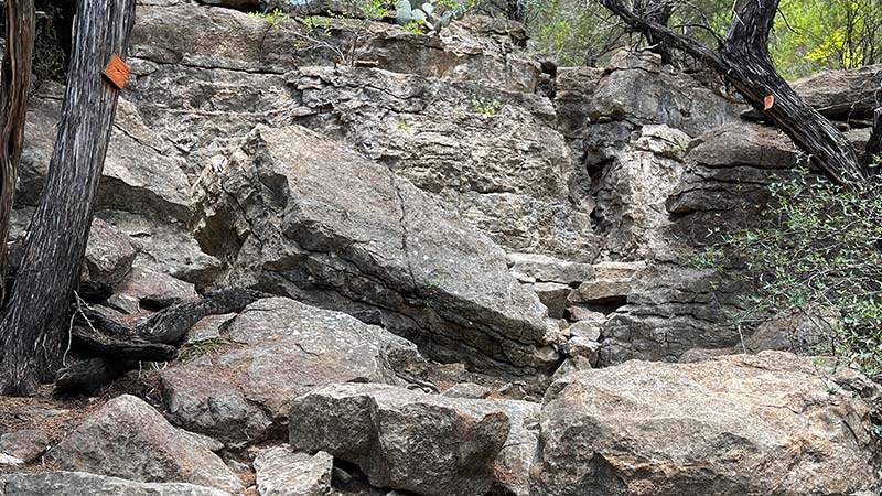
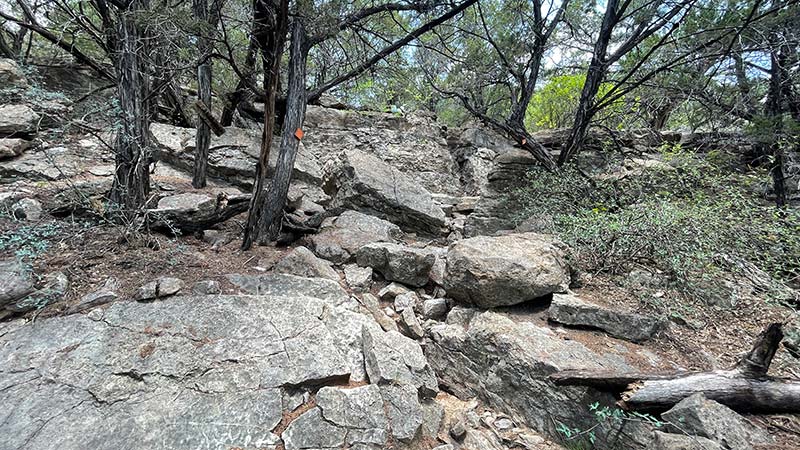
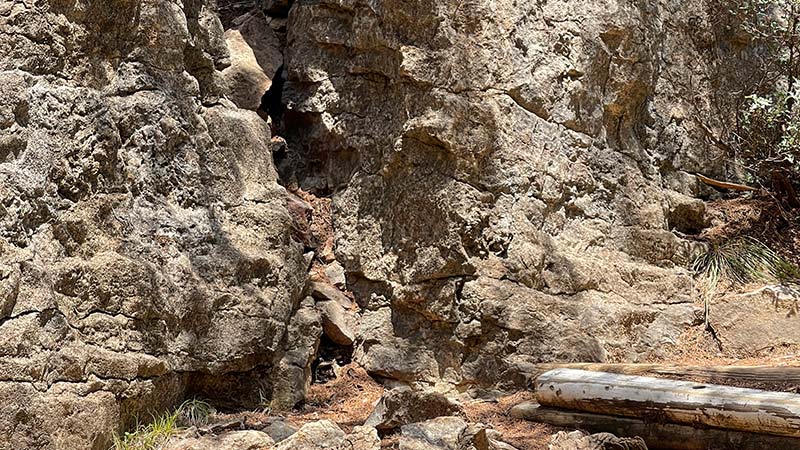
Near the top you arrive at a beautiful wall of rock and a sitting area. This is a place the camp counselors stop to share stories and rest.
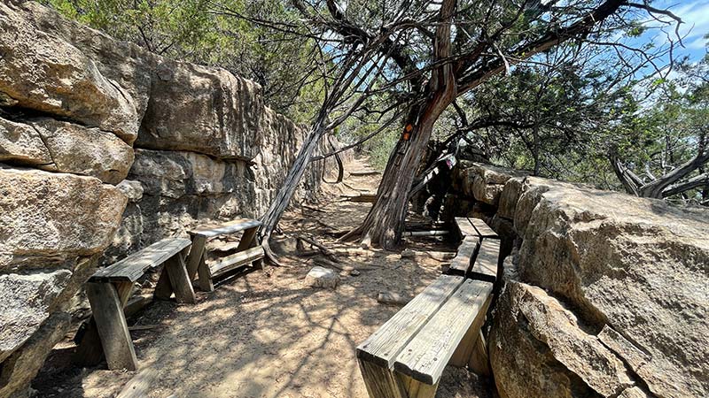
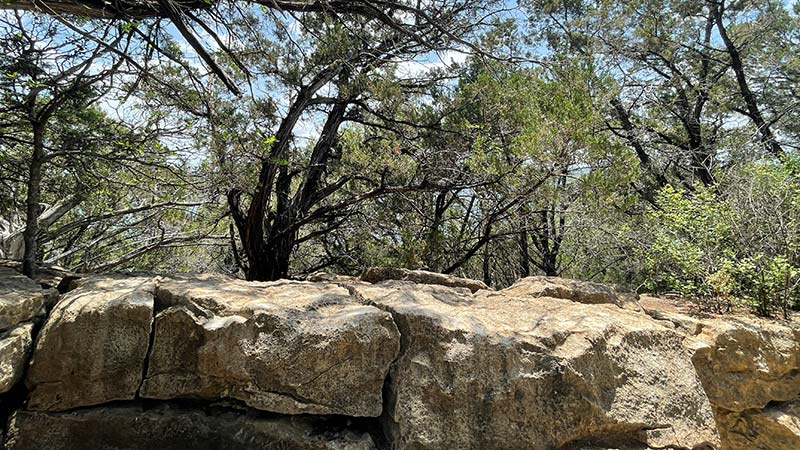
THE PEAK! We arrived at the peak on a clear sunny day. We were able to see for miles in every directly. Here are a few of my favorite pics.
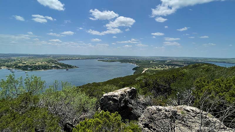
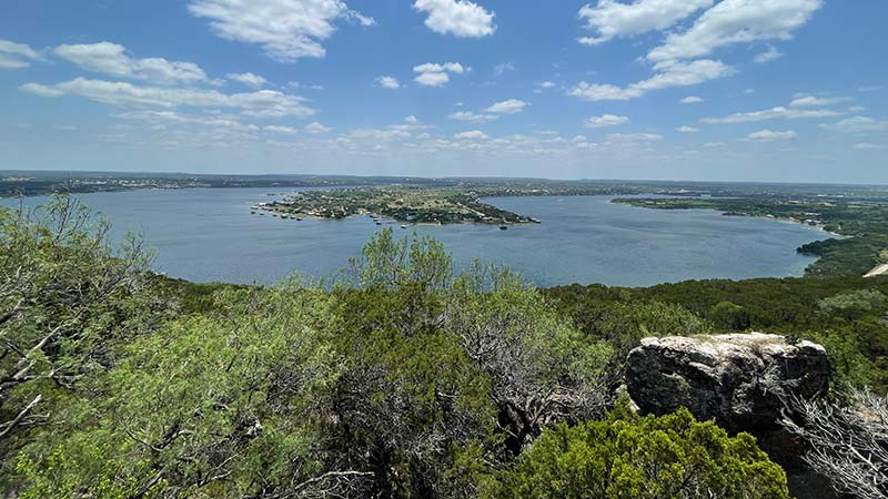
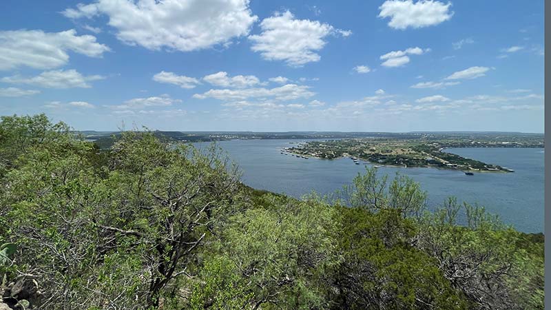
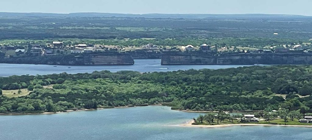
I had my iPhone 12 Plus Max and the camera is just amazing. Here is a zoomed in picture of Hell’s Gate from the Johnson Peak Summit.
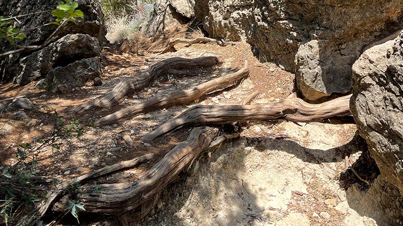
It was hard to head down the trail after experience the spectacular views from the peak but after an hour we headed back to the truck. Here are some random pictures of our walk down.
Also found a local! We didn’t stay and chat…

Not sure how the public can access this trail, but I was lucky to experience it. Maybe you too can have your daughter or son become a camp counselor next summer and get permission to hike the trail or the YMCA or Brazos River Authority can offer a donate to hike option during campers off seasons?